About BASIS
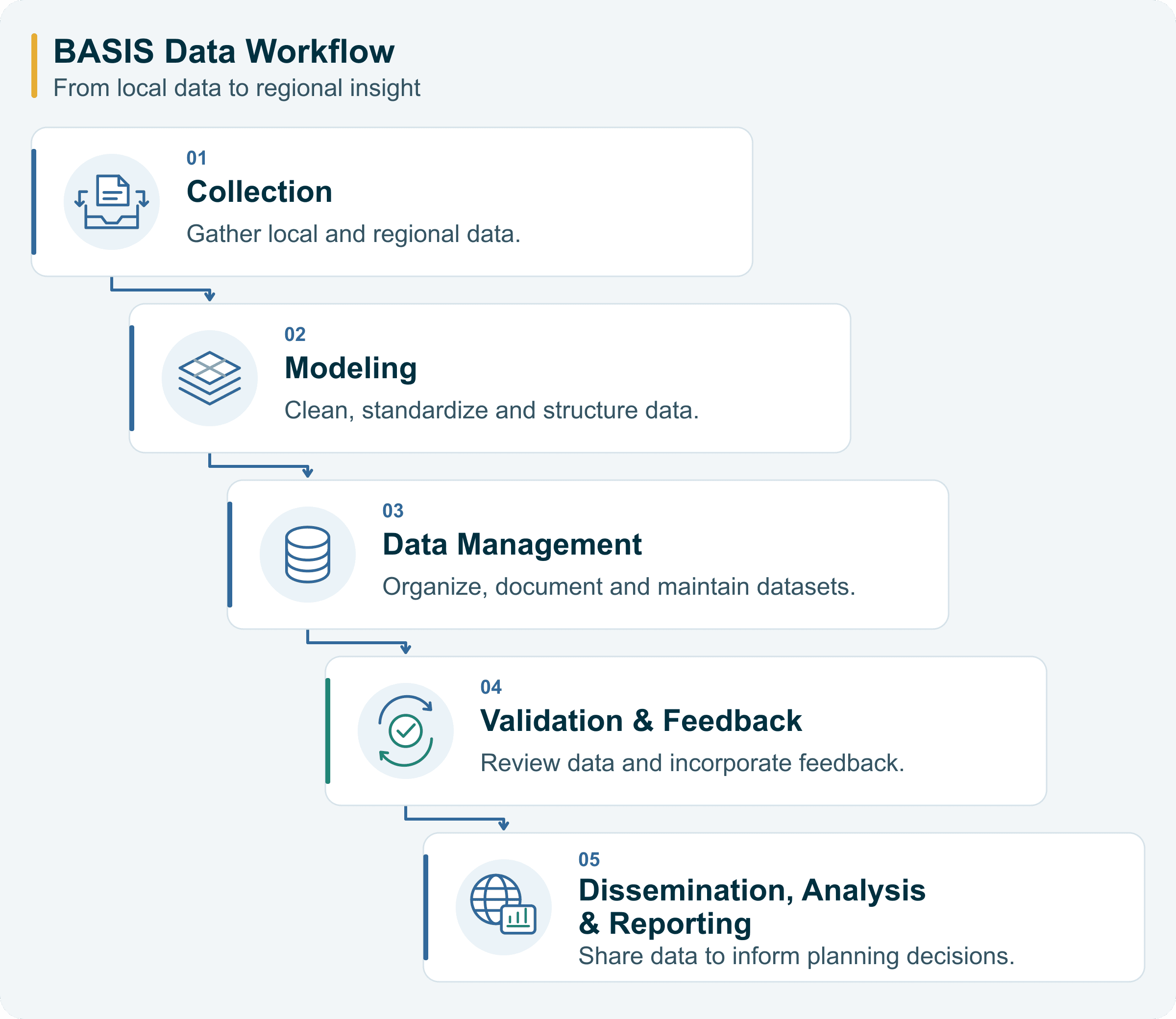
The Bay Area Spatial Information System (BASIS) was created to give public agencies and planning professionals a reliable foundation for data-informed decision-making. Developed by the Association of Bay Area Governments (ABAG) and the Metropolitan Transportation Commission (MTC), BASIS reflects a regional effort to improve access to critical spatial information.
As a centralized platform, BASIS is built to reduce duplication, promote transparency and help jurisdictions work together toward shared goals. It offers curated datasets submitted by local governments and standardized by ABAG and MTC to support coordinated planning at every scale.
BASIS is part of a larger commitment to modernize how we share data, build tools and respond to regional challenges in housing, transportation, environmental resilience and equity.
Learn More
Vital Signs
Vital Signs is an interactive platform from MTC that tracks key data on transportation, land use, economy, and the environment in the Bay Area. It provides visualizations and analysis to help policymakers, researchers, and the public understand regional trends and inform planning decisions.